The Vie di Civita di Cascia trails have been created thanks to the "Recovery, enhancement and promotion of the Monti Pizzuto-Alvagnano SAC" project, - RDP for Umbria 2014-2020 "Two Valleys: One Territory" - Measure 19 Sub-measure 19.2 Intervention 19.2.1.10 "Territory and rural areas" - which represents a place of environmental value both locally and in the EU. The project offers tourists an integrated proposal combining the cultural and naturalistic aspects of the area southeast of Cascia, proposing suggestive trekking routes with different degrees of difficulty...


The Routes of Civita di Cascia
The Vie di Civita di Cascia trails have been created thanks to the "Recovery, enhancement and promotion of the Monti Pizzuto-Alvagnano SAC" project, - RDP for Umbria 2014-2020 "Two Valleys: One Territory" - Measure 19 Sub-measure 19.2 Intervention 19.2.1.10 "Territory and rural areas" - which represents a place of environmental value both locally and in the EU. The project offers tourists an integrated proposal combining the cultural and naturalistic aspects of the area southeast of Cascia, proposing suggestive trekking routes with different degrees of difficulty. The project interventions aim at encouraging conscious and guided access to the special conservation area, thanks to careful classification and renewed signage along the paths that allow the discovery of the area's naturalistic peculiarities, such as protected animal and plant species. The naturalistic characteristics and geological history of the territory are also narrated within the app "Cascia tra spiritualità e natura" (downloadable by framing the QR Code on this website and from the online stores for Android and iOS) and illustrated within an exhibition set up at the Cascia tourist office thanks to an accessible multimedia lectern and nine exhibition panels.
The Monti Pizzuto-Alvagnano SAC
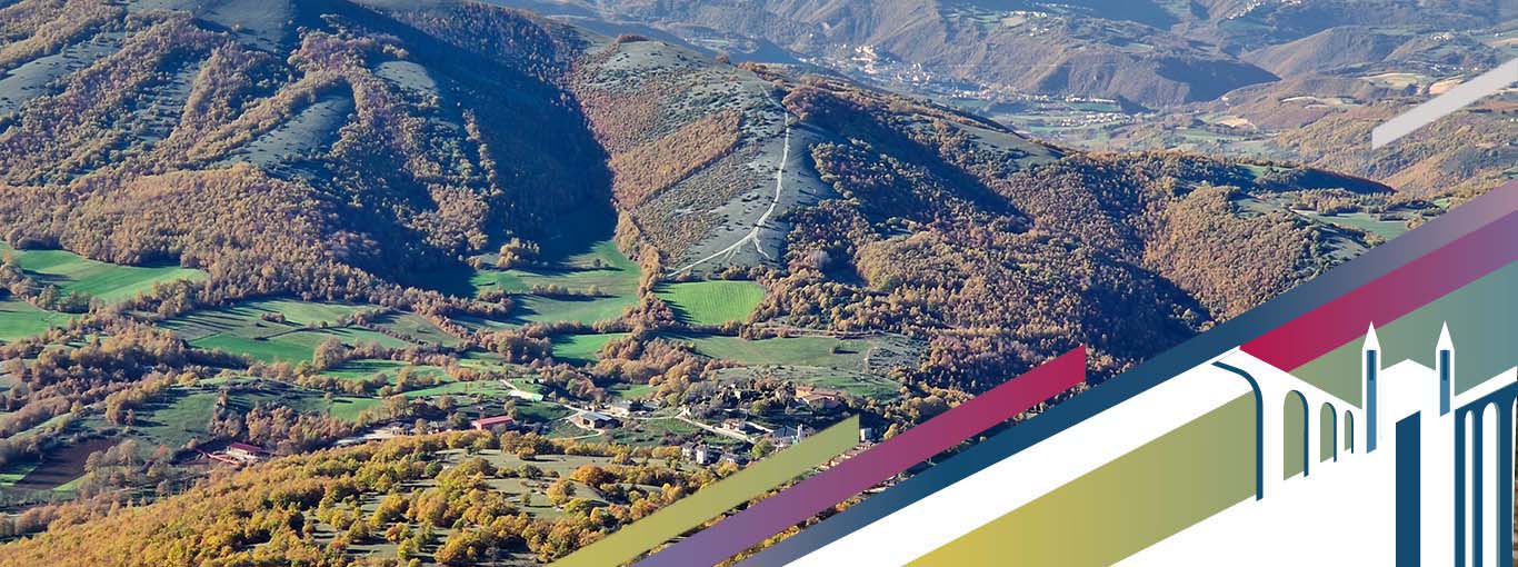
The Monti Pizzuto-Alvagnano Special Area of Conservation, which is about 14 km2 wide, involves a predominantly calcareous ridge on the border with the Lazio region, whose highest point is reached by Monte Pizzuto or Pozzoni at 1903 m a.s.l. This mountain complex has wooded slopes and peaks with secondary shrub grasslands and small plots of traditional crops. The area is a refuge for numerous species of conservation interest and constitutes one of Umbria's most authentic and best-preserved habitats. The high landscape value also combines with the important biodiversity expressed by the local products, one above all is the Roveja di Civita di Cascia, an ancient wild pea with special organoleptic properties, today a Slowfood presidium.
Themes of interest
Punti di interesse e animali della zona
View on mount Pizzuto towards mount Alvagnano fault
This is another privileged...
Forca di Valle
The path that takes us from here to the Fonte dei Puledri...
Piatenette
The Piatenette plain was formed by a sequence of tectonic ...
Italian maple
The Italian maple (Acer opalus), also known as
Ancient charcoal piles
Crossing this wide impluvium, at the edge of the path
Cavity in the rock face
Cavities in the rock walls are habitats
High beech forest
A high forest, or tall forest, is the spontaneous development
The Big Beech Tree
European beech (Fagus sylvatica) is a large deciduous broadleaved tree
The Big Apple Tree
The wild apple (Malus sylvestris) is a distinct ...
Crested Porcupine
The Crested porcupine (Hystrix cristata) is the largest rodent in Italy
Orchids
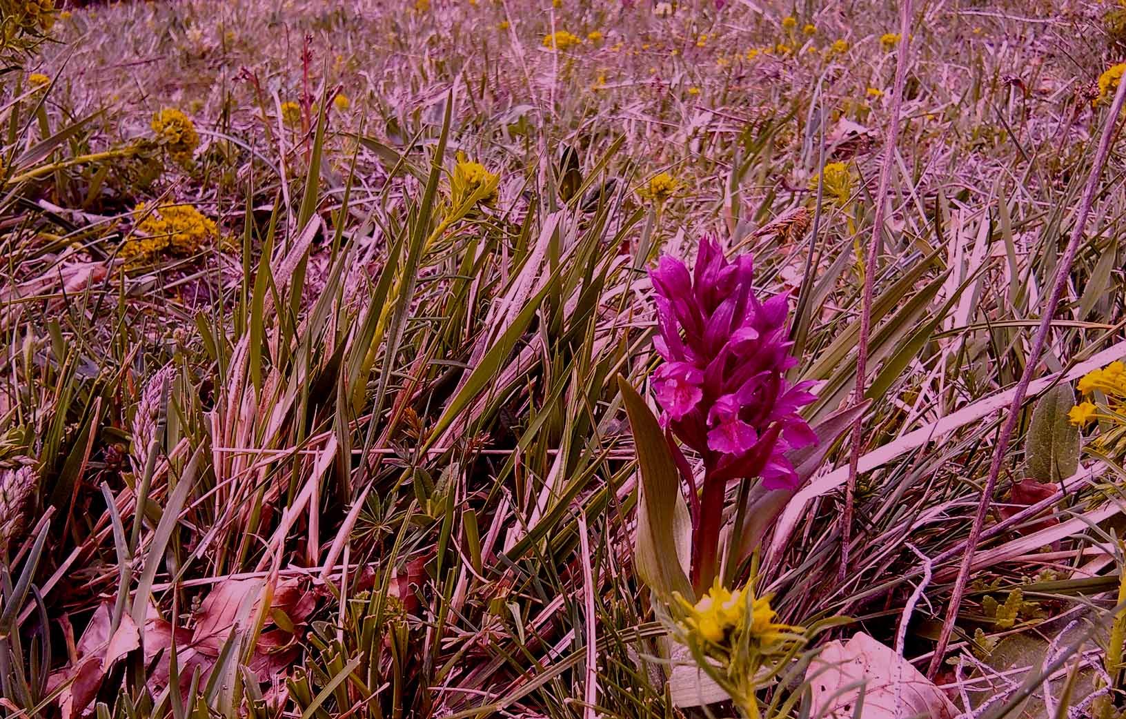
Orchids, of the Orchidaceae family, are among the most diverse plants ...
Abandoned pastures
Pastures are lands in which the repeated...
View of Civita di Cascia
On the top of Mount della Croce (1611 m a.s.l.)...
Fox
The fox (Vulpes vulpes) is one of the most abundant and widely
SACs - Mount Pizzuto and Mount Alvagnano
Natura 2000 network is the main ...
Fauna
This is considered an area of high naturalistic value
The European hare
The European hare (Lepus europaeus, Pallas 1778) is ...
European wildcat
The wildcat (Felis silvestris, SCHREBER, 1777) is...


